Posts from the “Creeks” Category

McCullough Creek

Posted on June 21, 2014

McCullough Creek_2014-0621-023

Early Summer – McCullough Creek

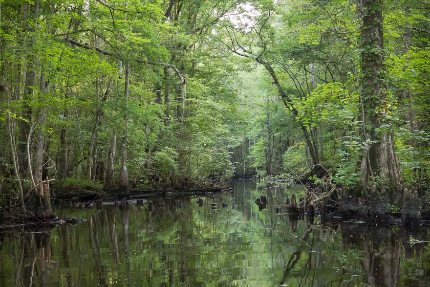
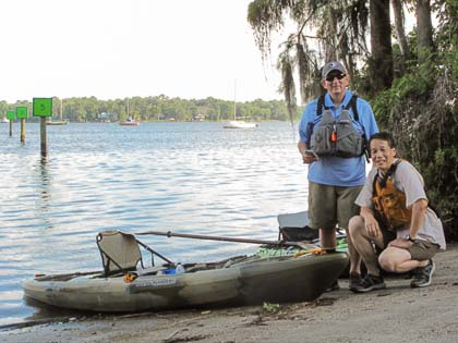
I’ve had my eye on McCullough Creek for a long time. In February of 2012 I drove down SR-13 and stopped at every bridge crossing a creek to photograph. I knew something special was contained within each waterway and felt so limited in my ability to go deeper and explore. Today I’m solo and transported my boat on top of my car. A little more effort than using the trailer but it all worked out. The McCullough put in is not very big, just a way to drive in and some room to park on the side. Someone arrived as I was unloading who had his fishing boat and a cooler of beer ready to go. We had a nice chat.

McCullough Creek in the Spring

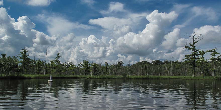
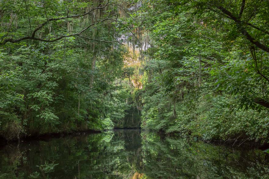
McCullough Creek from SR-13 in the Spring of 2012

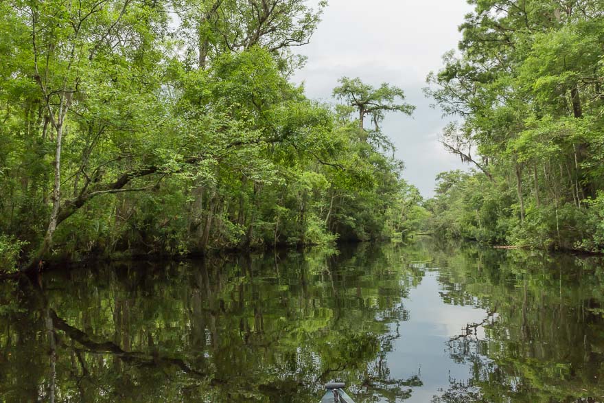
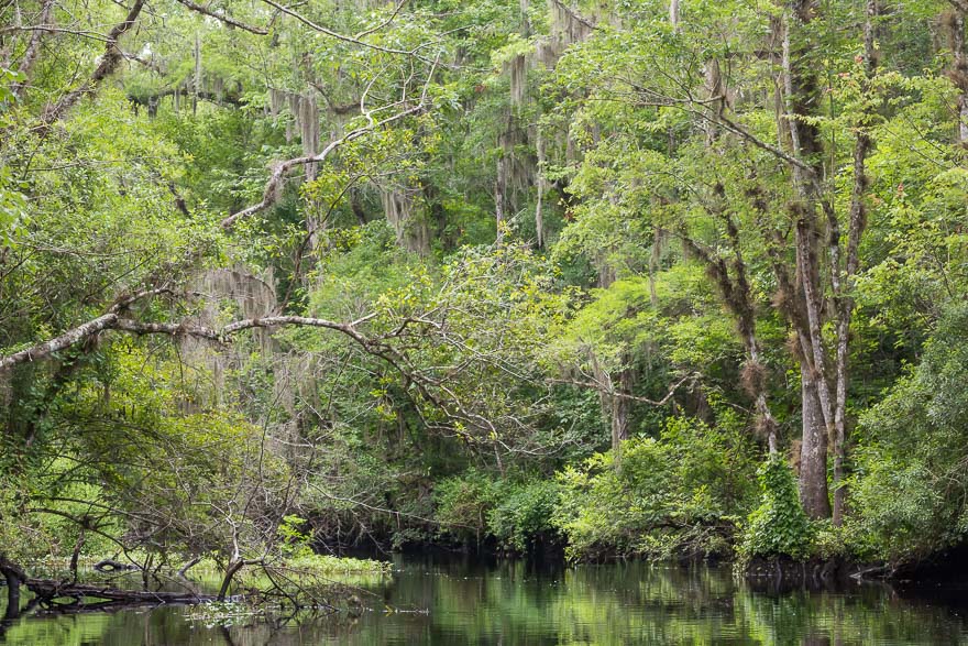
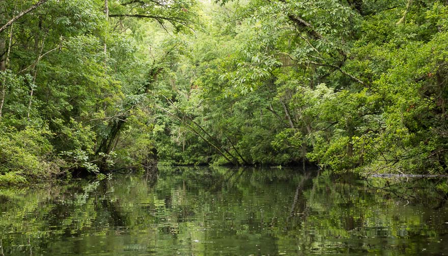
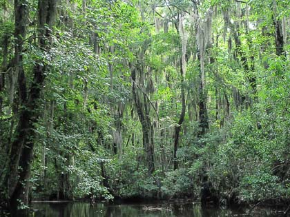
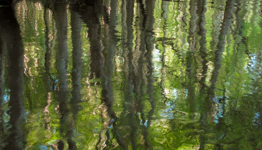
The creek is narrow and the sun rose quickly. I passed one dock and then a mass of Moonflowers. These are a type of Morning Glory and I think they are invasive but I couldn’t confirm that. This one was in the shade and hadn’t closed up. There is the occasional flower on the creeks that adds the spot of color to an otherwise totally green landscape.

Moonflower - McCullough Creek

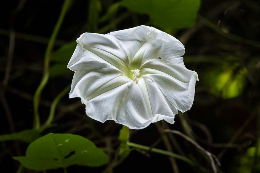
Moonflower – McCullough Creek

Overhanging Trees - McCullough Creek

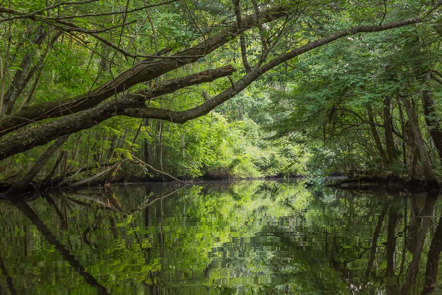
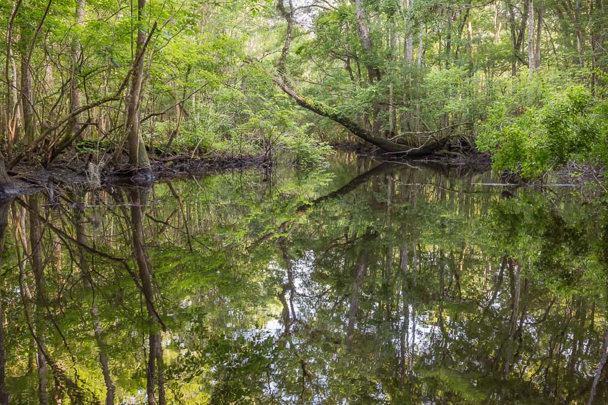
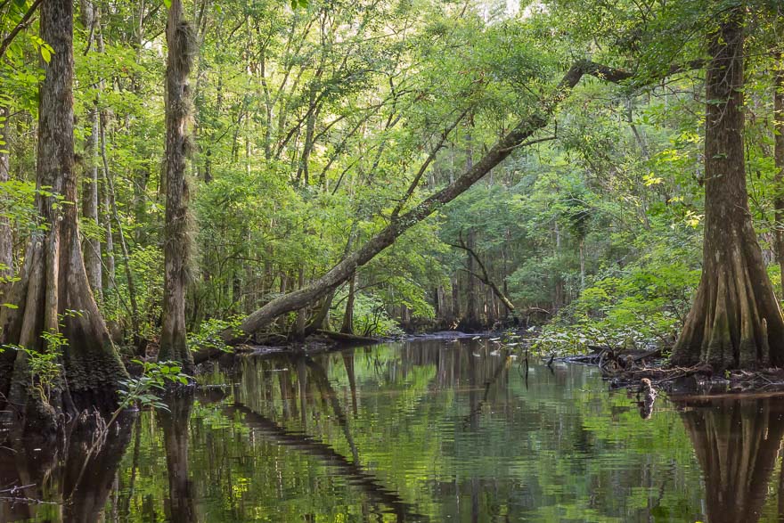
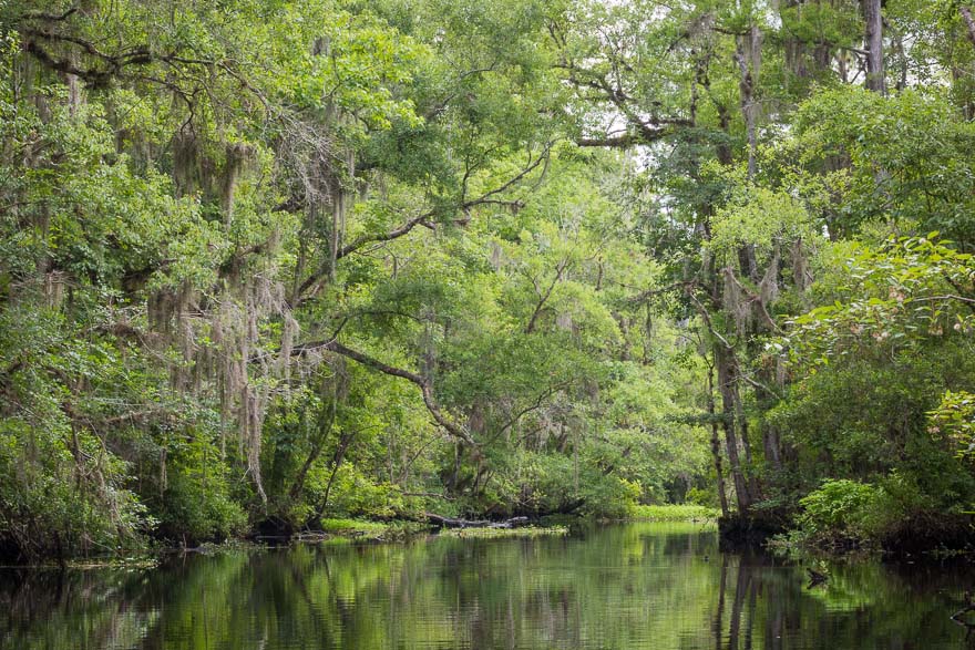
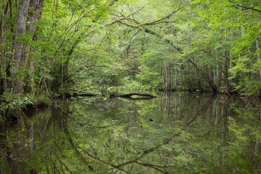
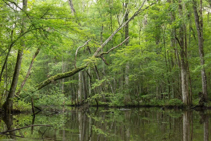
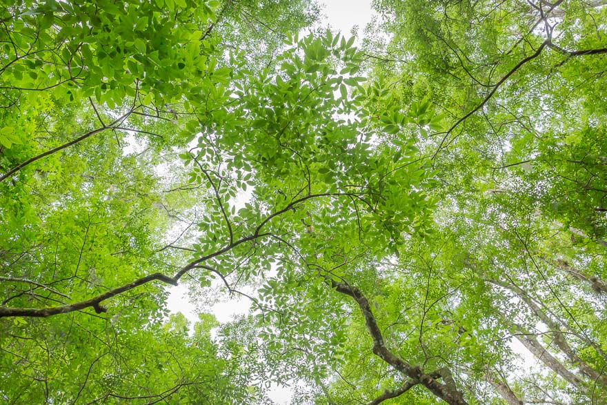
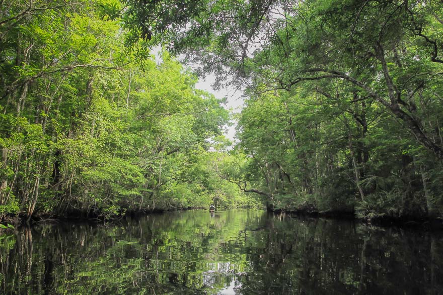
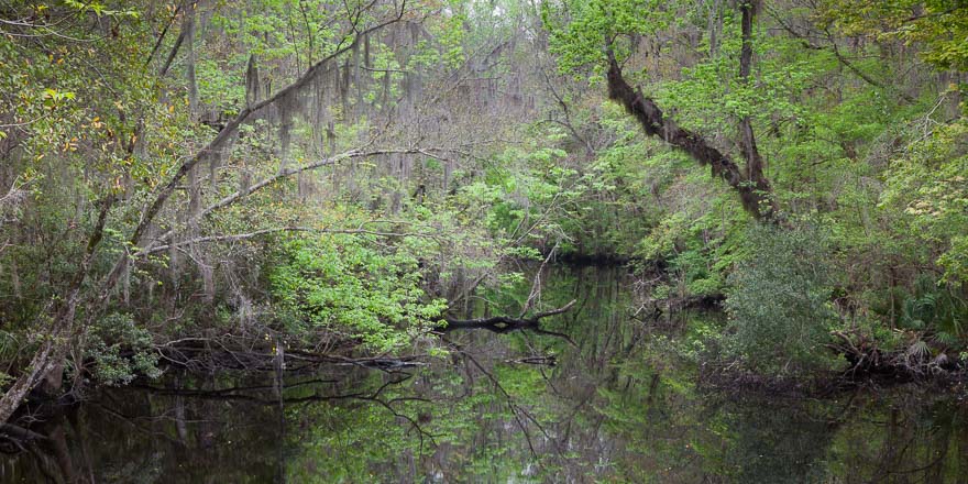
Overhanging Trees – McCullough Creek

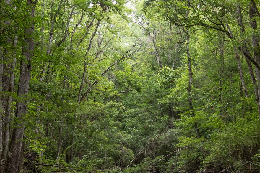
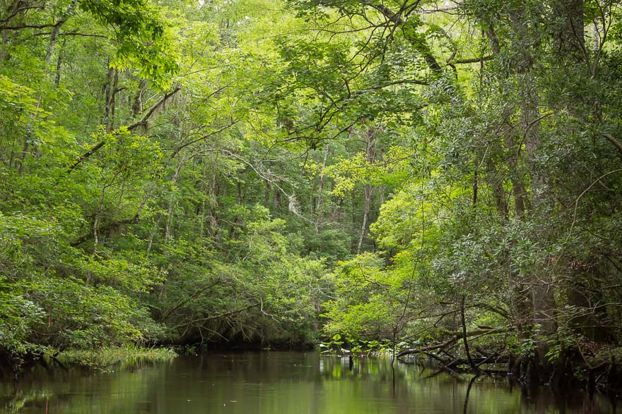
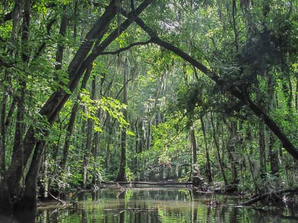
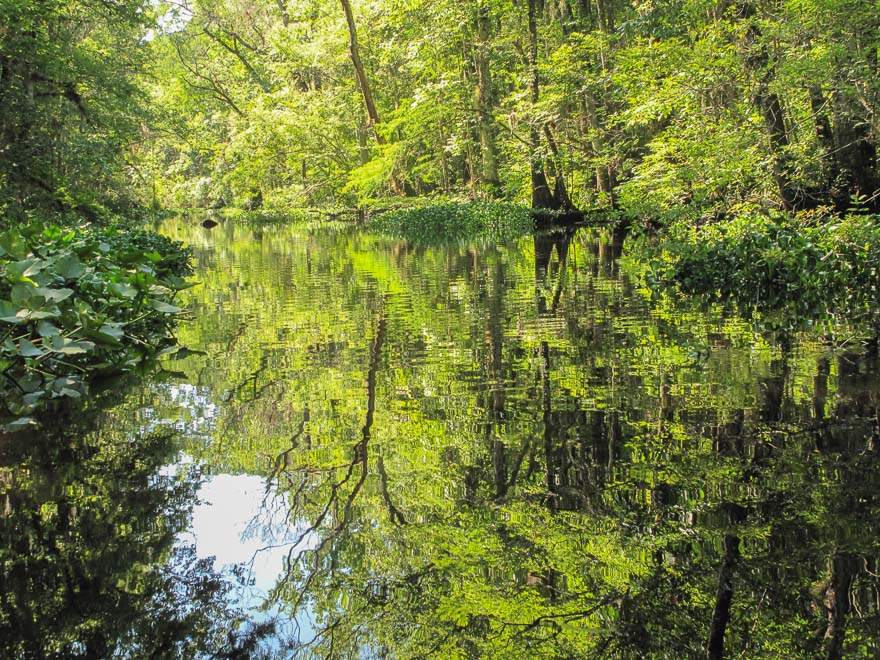
After about 45 minutes some very thick deadwood blocked the path. Wow, that was quick. I brought my hand saw, but it looked like too much to try to hack through. By now the sun was getting over the trees and the light began to change. I decided to head back slowly, and then to go under the bridge to the St. Johns River. After passing under the overpass I spotted my fishing buddy and he was having a good day. The river was very close and I ventured out, soon turning back due to the waves and current. It was a beautiful morning but not the type of light for my photography.

Back to the car I loaded up and proceeded to Deep Creek to check out the launch point. That adventure would be tomorrow.

Durbin Creek 2

Posted on June 15, 2014

Launch Point View - Durbin Creek

Launch Point View – Durbin Creek

I love Durbin Creek. In addition to being close to my home, the creek represents my idea of an “ideal” Florida creek – twisty and overgrown with vegetation, a wild place where you could surprise a gator sunning on a log or a big blue heron fishing for dinner. The creek is long but unfortunately water hyacinths have clogged passage at several locations. You can only go less than a mile from the launch on Race Track Road. We can thank the good folks of the Clean Waterway Society for their efforts in establishing and maintaining the small park and keeping the creek clear. The water hyacinths have proved too much of a challenge to clear and we will have to wait for an industrial solution.

The light levels were very low at the beginning of the paddle. The creek was calm but the yellow flies very active. I hate those things! The water level was very low so we didn’t make it very far. There are several large fallen trees that must be crossed when the levels are high, so we did not even make it to the water hyacinth clog.

Durbin Reflection

Durbin Reflection – Durbin Creek

As the sun rose the forest began to glow.

Cypress on Durbin Creek - Durbin Creek

Cypress on Durbin Creek – Durbin Creek

There is a lot of residential development going one in the area. Everyday acres of land are being cleared for new tract houses. The creeks are being continually threatened by encroaching development. I don’t expect this to stop until every last inch of desirable property is consumed.

Thomas Creek 2

Posted on June 14, 2014

Thomas Creek

Heading West on Thomas Creek

Thomas Creek will always have a special place in my heart. John Pemberton took us here on our maiden voyage a few weeks ago. I had never heard of Thomas Creek. It forms the border of Duval and Nassau counties, and is quite long. Although it doesn’t empty into the St. Johns, I count it as one of our premiere North Florida creeks that is superb for kayaking. The launch facility at the end of Ethel Road has a large restroom with flush toilets, picnic area, and nature trails. The creek runs east/west (sorta) from the launch and we headed upstream (west) just like our inaugural trip. The creek is wide with plenty of twists, turns, and overhanging trees.

Follow Me - Thomas Creek

Follow Me – Thomas Creek

Illuminated Greens - Thomas Creek

Illuminated Greens – Thomas Creek

We were fortunate that the sky was a bit overcast, with the sun darting in and out. This made our shooting time much longer and allowed us to paddle for 2 hours before turning back. We made it up to the correctional facility picnic area…for those of you who know where that is please remember we paddle s-l-o-w-l-y. Thomas Creek is one of those places you can return to time and time again.

Julington Creek 2

Posted on June 8, 2014

Cathedral of Nature

Cathedral of Nature – Julington Creek

I promised Gray that after my bad attitude yesterday I would take him to the other side of the creek, back upstream. A beautiful morning (except for the yellow flies!) awaited us. Such a contrast to the horrors of yesterday. Did ALL of Julington Creek look like this at one point in time? We paddled for about a mile before a big fallen tree blocked out path. We could have dragged our boats over the log but decided we had enough beauty for one day.

Into the Woods - Julington Creek

Into the Woods – Julington Creek

Suspended in Time - Julington Creek

Suspended in Time – Julington Creek

Julington Creek

Posted on June 7, 2014

Waiting for Development - Julington Creek

Waiting for Development – Julington Creek

I returned to the Old St. Augustine Rd. access point with Gray and we decided to paddle downstream on Julington Creek towards Clark’s Fish Camp. My hopes were not high on having a “pristine” creek experience which turned out to be the case. As soon as we passed the bridge, the docks and trailer homes, and estate mansions with manicured lawns opened up. You could hear lawn mowers and blowers, music playing, and everything else that goes along with civilization. From the Google Map it appeared that these points would be infrequent, but as it turns out most of the creek is developed. I guess as a people we have the need to mark our territory. My problem is what people do to their property (or don’t do). The first inclination is to “drain the swamp,” bring in enough fill to build a nice bulkhead to eliminate any of the marsh or vegetation that could breed mosquitoes or snakes. Then we need an unobstructed view of the creek, so clear the lot of trees and shrubs and plant grass. Not just a small area for a view but the whole property. This destroys any view anyone would have of the creek landscape. When this formula is repeated again and again it becomes total destruction of any “waterfront” feeling one could get from living on a Florida creek.

I may return to document my feelings on this observation, but for now I had enough of the creek so we headed back. Don’t get me wrong, it’s a nice paddle and the creek is still beautiful, but you have to look through the humanity which was too painful today.

Big Davis and Julington Creek

Posted on June 1, 2014

Raindrops

Raindrops – Big Davis Creek

My first outing with the big camera. A little nervous but the worst that could happen would be the boat flips and all my camera gear goes to the bottom of the creek. Ok, that’s what insurance is for. The morning was overcast, rain was in the forecast. Gray was out of town so I soloed this one with a launch at the South Entrance to Palmetto Leaves Regional Park, across from Kohls on Old St. Augustine Road. Never been here before. This is a VERY nice park, a real secret tucked away in a busy area. Restrooms, picnic tables, plenty of parking. The launch is a floating dock that kinda puts you right in the creek. For kayakers, the point of maximum instability is getting in and out of your boat. There is some serious rocking around if you are not careful, and any attempt to compensate usually results in a dump. I did not wish for this result. I took me about a minute to make the transition from the dock to the boat. As I sat on the dock with one leg in the boat, I kept thinking about moving my butt over to the seat in one smooth motion. Easy. I would go through the motion and halfway through I’d stop. The boat would start tipping side to side. Yikes! I recomposed myself and tried again. I wish I had a video of this.

Morning Paddle - Big Davis Creek

Morning Paddle – Big Davis Creek

Once in the boat I was off and running. My general rule is to secure the camera in the center compartment until needed. No need to snap it all shut but just have it covered to protect from paddle drips. I didn’t realize how little light is in the creeks. I had an idea from using my G10 that high ISO would be necessary. I also had no idea on where I could go with the ISO to retain the print fidelity I wanted. Remember, I’m usually shooting from a tripod at ISO 100, f/18. That wasn’t going to happen here unless I wanted a blurry mess. The happy medium seemed to be ISO 2500, f/9, 1/40-1/60 sec. While I was hoping for more depth of field and lower ISO, this is generally the ballpark I start with. I’m sure I’ll refine these setting as I start printing and develop more experience shooting.

Creek Canopy - Julington Creek

Creek Canopy – Julington Creek

The launch is on Big Davis Creek, which joins with Julington Creek. At the junction, I turned right to go upstream on Julington. What I love about this area is that there is NO development, no docks or lawns, or evidence of anything man-made. This is so rare especially in an area as beautiful as this. I am really surprised and relieved that these creeks are preserved. I had no idea of the beauty. I paddled until it began to rain. Just a sprinkle, but being the paranoid novice paddler, I was nervous that the deluge was moments away. In hindsight I should have stayed out there. The raindrops on the leaves and hitting the water were a delight.

Goodbys Creek

Posted on May 31, 2014

Goodbys Creek

“No Wake, Idle Speed” – Goodbys Creek

We put in at the Goodbys Creek boat ramp and first paddled south near the apartments and were quickly turned back by an old steel roadway. The creek was littered with tires and trash and not very pleasant. The paddle upstream took us through a constant series of docks and waterfront homes. Basically the whole creek is “developed” and you have to look very hard to find nature.

GoodbysCreek_2014-0531-007            GoodbysCreek_2014-0531-011

Trout Creek

Posted on May 18, 2014

Gray on Trout Creek

Gray on Trout Creek

We continued our practice runs on this impressive creek just south of the Shand’s Bridge. Trout Creek Park is a nice large facility with a large boat ramp and plenty of parking. The paddle upstream was 2.3 miles to SR-16A. The creek started out wide and narrowed after about a mile. Docks and houses covered the east bank. On the west was a private reserve with prominent “Keep Out, No Trespassing” signs posted every 50 ft next to their barbed wire fence. In between houses nature was trying to reveal herself. Not until we passed 16A did the creek go to a pristine state. We were turned around soon after by many fallen trees and branches.

3 boats passed us just cruising. I’m not anti-social, but part of being out on the creek is to find peace and solitude in nature, and being passed by a powerboat with a crew of happy campers is not my idea of getting away. A great paddle if you like to check out docks and everyone’s boat.

Durbin Creek

Posted on May 17, 2014

Creek Abstract - Durbin Creek

Creek Abstract – Durbin Creek

Durbin Creek has been one of my favorite mystery place for some time. I had visited the Bartram Canoe Trail launch point on Racetrack road many times to photograph the impressive creek entry. I thought about buying a pair of waders to go further into the creek to see what was just beyond the next bend. Now I could solve that mystery. Gray and I continued our practice of backing his trailer and unloading the boats. With my small point and shoot, I was gaining confidence in my ability not to destroy my more expensive equipment.

The yellow flies were at the height of their activity. Yellow fly bites hurt, and I have a particularly bad reaction to their bites. They didn’t seem to bother Gray at all. In addition to a liberal application of OFF! I brought along a can of Raid flying bug spray. Turns out that these guys never heard of OFF and you have to swat them out of the sky to get rid of them. Yellow flies are noisy and you can hear them swarming about like a bunch of bees. I think they must be territorial too, as they will annoy the heck out of you for a while and if you keep paddling they will disappear, soon to be replaced by one of their friends. I wore long sleeves and pants but they manage to bite through the thin “expedition” gear I was wearing. Sigh!

Golden Morning - Durbin Creek

Golden Morning – Durbin Creek

We paddled up to the big “clog” at the power lines. We made no attempt to go further, the area was thick with water hyacinth and without a massive effort there was no way to get through. Later we learned that the Clean Waterway Society had cleared the area last year and everything grew back. This is a big problem for the creek, as these plants are invasive and can cause a major disruption to the health and flow of the creek.

Overall we’ve been happy with our boats and our ability to get out to some wild places. All of this is new for us and it is truly a wonderful feeling to know that all of this exists in your backyard. I may never leave this place!

Paddle Dip - Durbin Creek

Paddle Dip – Durbin Creek


Julington Creek, sorta

Posted on May 15, 2014

First trip - Julington Creek from Mandarin Park

First trip – Julington Creek from Mandarin Park

Our inaugural paddle! Just installed the Yakima Sweet Roll cradles on my Pathfinder roof rack and managed to get my boat up there. The Cuda 12 weighs in at 70 lbs w/o the seat and that’s a lot of plastic to be pushing on the roof of a car. As much of a challenge is getting it down…and it does slide down fast when you get it going. We managed to put in at the Mandarin Park boat ramp and didn’t realize that on a windy day the river really kicks up some waves and makes it tough to paddle. We made it to the Julington Creek Bridge (about 300 yards!) and then turned around and went west for a bit. The waves were really tossing us around and we ended up working HARD trying to get these big wide fishing yaks back to the ramp. What a workout, not going to do that again. So much for the first ride…it was short.